


Garmin GPSMAP 66i, GPS Handheld and Satellite Communicator, Featuring TopoActive mapping and inReach Technology (Renewed)
$349.99
Why we picked this
Product Details
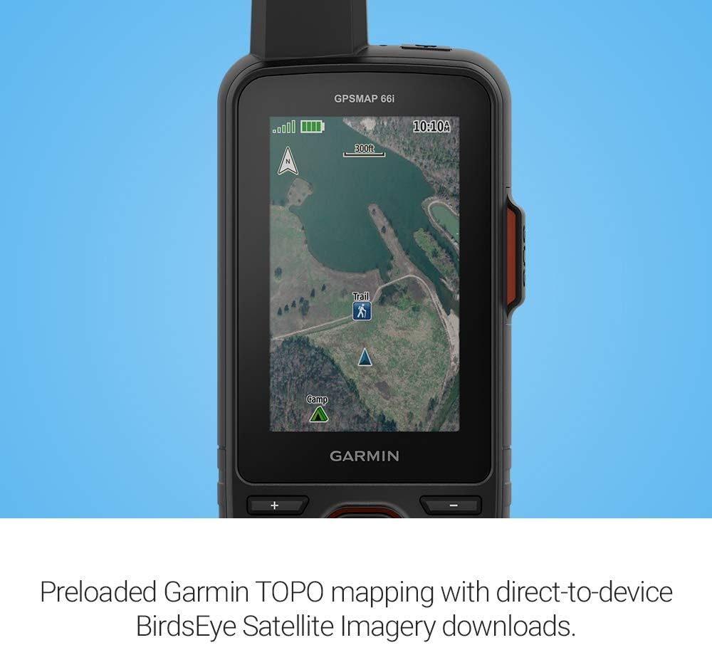
The Garmin GPSMAP 66i is a versatile handheld GPS and satellite communicator designed for outdoor enthusiasts. It features a large 3-inch sunlight-readable color display, ensuring easy navigation even in bright conditions. With preloaded Garmin TOPO mapping and the ability to download Birdseye satellite imagery directly to the device, users can enjoy detailed terrain information without the need for an annual subscription. The device supports multiple global navigation satellite systems, enhancing accuracy in various environments.
Additionally, the Garmin explore website and app allow users to manage waypoints, routes, and activities, while cellular connectivity provides access to live weather forecasts. The internal rechargeable battery offers impressive longevity, with up to 35 hours in tracking mode and 200 hours in Expedition mode.
Pros & Cons
- Large, sunlight-readable display for easy viewing
- Supports multiple GNSS for improved navigation accuracy
- Preloaded TOPO mapping with no annual fees
- Long battery life in various tracking modes
- Requires satellite subscription for two-way messaging
- Some jurisdictions may regulate satellite device use
- Interactive SOS feature may not be available in all areas
Related Products
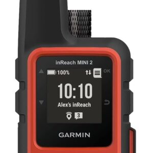
Garmin inReach Mini 2, Lightweight ...
Garmin inReach Mini 2 Satellite Com...
ZOLEO Satellite Communicator – Tw...
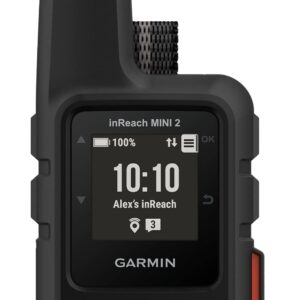
Garmin inReach Mini 2, Lightweight ...

$349.99